Welcome to the home page of Dwyriw Community Council
The Community of Dwyriw
(Adfa, Cefn Coch, Llanllugan, Llanwyddelan)
Dwyriw is a rural district in the uplands of Mid Montgomeryshire, drained Eastwards by the two main tributaries of the Afon Rhiw. The highest points are to the West and South on Moorland over 1300ft above sea level (>400m). The largest settlement is the village of Adfa with three further areas of population at Llanwyddelan, Llanllugan and Cefn Coch.
The community of Dwyriw is split into two wards, Llanllugan and Llanwyddelan. The area is sparsely populated with only 200 people on the electoral roll for the Llanllugan ward and 255 for the Llanwyddelan ward.
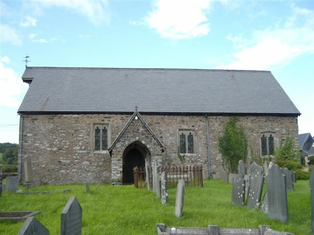
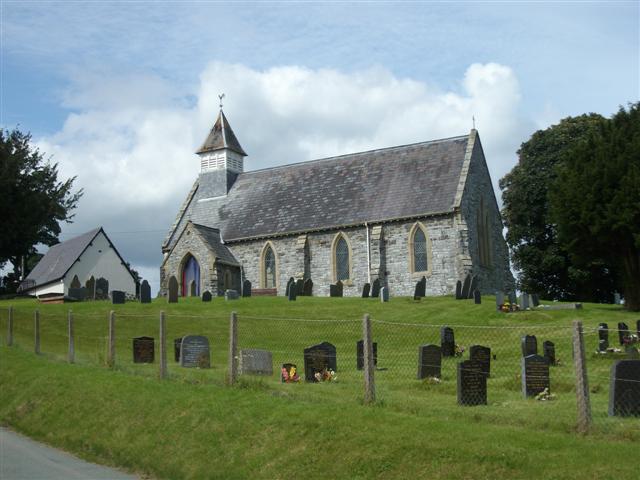
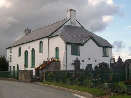 Notable historic buildings include Capel Coffa Lewis Evan in Adfa, St Gwyddelan's Church, Llanwyddelan and St. Mary's Church Llanllugan. There are two Sites of Special Scientific Interest in the district, Carreg Hywel Harris, a commemorative stone opposite Llanllugan Church and the 'Llanllugan Mire'. The "Golden Mile" is a beautiful sight in spring, a show of hundreds of daffodils along the lane from Llanllugan towards the southwest. This was planted by local resident Mr Maldwyn Evans over many years.
There are a mixture of Welsh and English speaking families in the area.
Children of Junior school age travel outside the district to Ysgol Rhiw Bechan, Tregynon or Ysgol Gynradd, Llanfair Caereinion. The High school is at Llanfair Caereinion.